

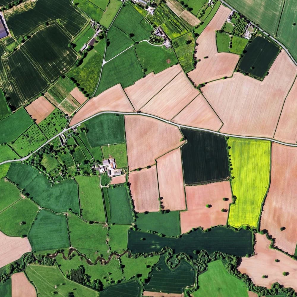
Agriculture & AgTech
Field intelligence with trusted AI.
Monitor crops, equipment, and supply chains with multimodal data and human-in-the-loop QA.
Capabilities
Crop intelligence
Detect growth stages, pests, and disease across fields using drone and satellite imagery fused into a common world model and reviewed by domain experts.
Use cases
Agriculture & AgTech

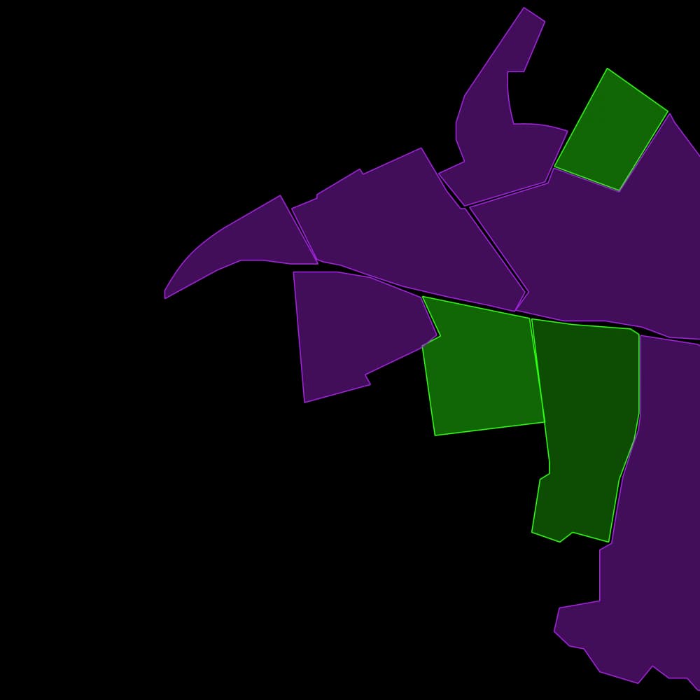
Crop identification
Monitor your crop rotation schedules and expertly deploy your resources with satellite and drone image data.
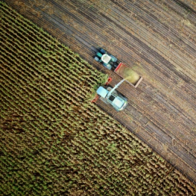
Harvest allocation
Use drone footage to quantify harvest vehicle and crew allocations to maximize efficiency.
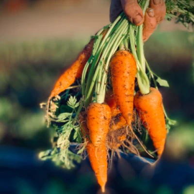
Produce quality control
Assess the quality of your crop to perfectly time cultivation stages like fertilization and harvest.
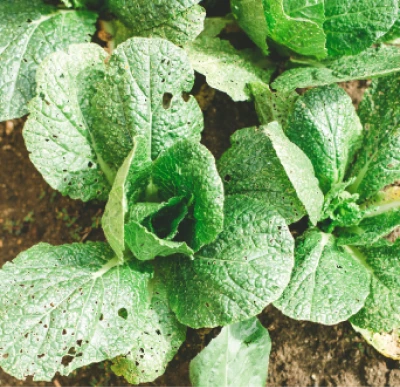
Pest detection
Locate and identify pests and disease, quantify risks, and design remediation tactics.
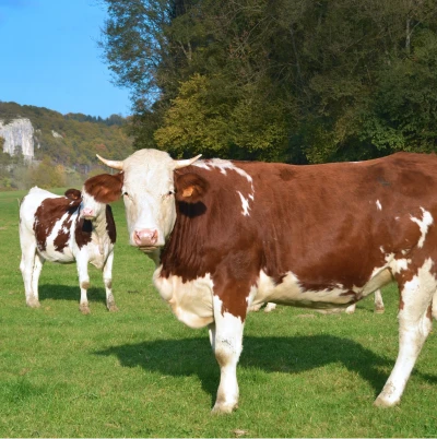
Livestock behavior
Monitor livestock remotely based on behaviors.
Autonomous tractors
Train autonomous vehicles to increase efficiency, reduce downtime, and maximize yields.
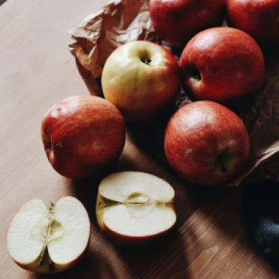
Identify, grade, and sort produce
Decrease time from picking to delivery and improve food safety by automating inspection and detection of contaminants.
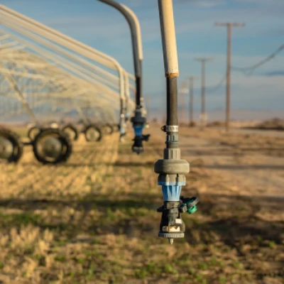
Water stress detection
Ensure crop health with weather analysis, plant monitoring, and water infrastructure control and maintenance.
Integrations
Learn MoreFrequently Asked Questions
What file types and data does Avala support?
Avala supports common image, video, and point cloud formats including JPG, PNG, WEBP, BMP, TIFF, MOV, MP4, AVI, DICOM, LAS/LAZ, PCD, and JSON point clouds.
Do you support my use case?
Yes. Avala is built for cross-industry AI ops. Tell us about your scenario and we’ll map the right workflows and annotation types.
How do I get support?
Reach us via support@avala.ai, the in-product chat, or ask for a Slack Connect channel to collaborate with our team.
Is Avala secure?
We are GDPR and SOC2 compliant with ISO programs in progress. Visit the security page to review certifications and controls.
Can I start quickly?
Most teams launch a pilot in days. Share sample data and we’ll configure labeling, QA, and reporting to your requirements.
Grow responsibly with Aligned AI
Mission Control links imagery, telemetry, and workforce feedback inside a single Unified Context Engine so you can launch trusted models that support farmers and the planet.